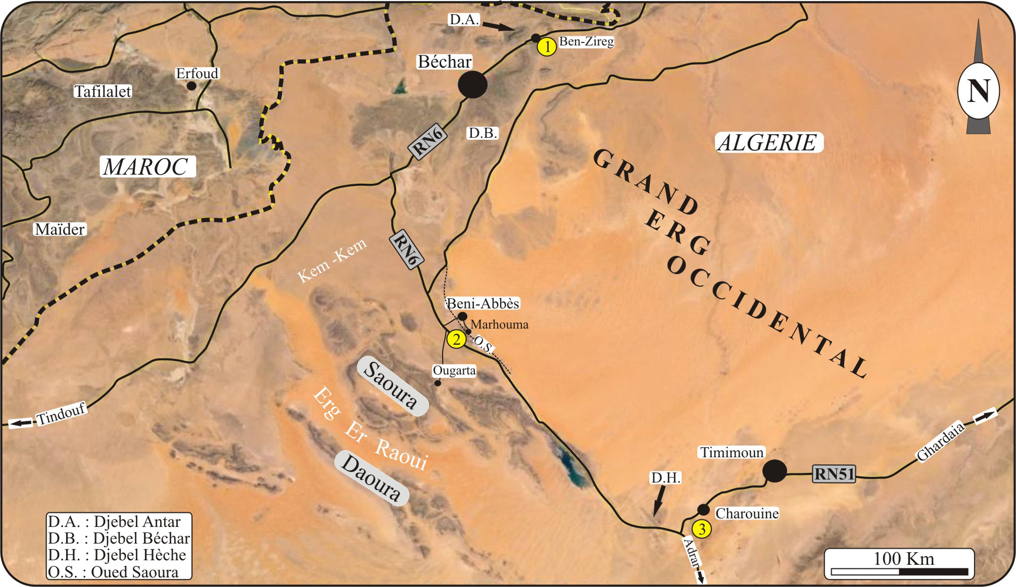
Figure 1
:
Image satellitaire (d'après Google Earth) montrant la position géographique des trois régions étudiées : 1) bassin de Béchar (Ben
Zireg), 2) bassin de l'Ougarta (Marhouma), et 3) bassin du Gourara (Charouine).
Figure 1: Satellite image (from Google Earth) showing the geographic location of the three studied areas: 1) the Bechar Basin (Ben Zireg), 2) the Ougarta Basin (Marhouma), and 3) the Gourara Basin (Charouine).