![]()
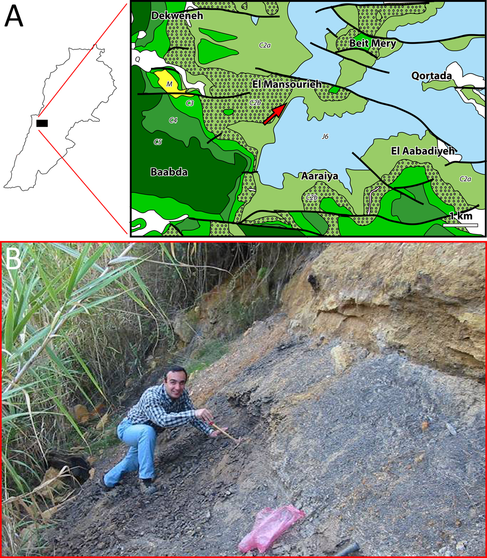
Figure 7: A- Geological map: Daychouniyyeh (red arrow) outcrop (modified from Dubertret, 1951a). J6 = uppermost Jurassic; C2a = lower Barremian "Grès du Liban" sandstone; C2b = Barremian clay and oolitic deposition of the upper part of the "Grès du Liban" and oolitic deposition of the lower part of the Jezzinian; C3 = micritic part of the Jezzinian (uppermost Barremianlowermost Aptian); C4 = Albian; C5 = Cenomanian; Q = Quaternary scree; M = mid-Miocene. Thick lines represent faults. Scale bar = 1 km. B- General view of Daychouniyyeh outcrop.